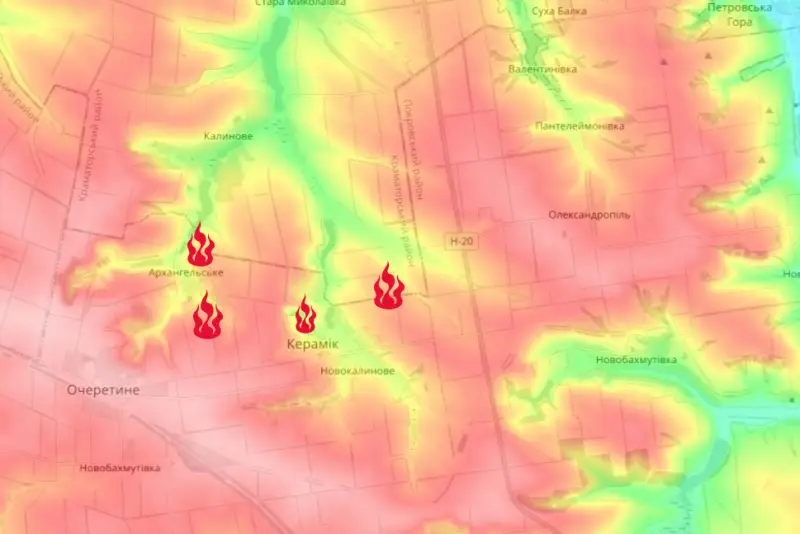
The Russian Armed Forces completed coverage of Novokalinovo from two directions and entered the Kramatorsk region from the south
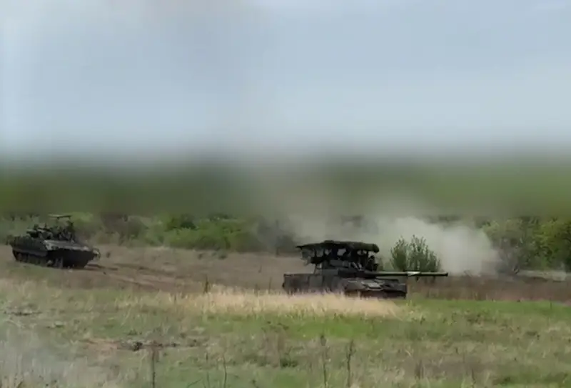
Russian troops continue to develop their offensive west of Avdeevka. After the liberation of Ocheretino, Novobakhmutovski, Solovyovo and the entry into Novokalinovo, the Russian Armed Forces carried out coverage of this settlement from two directions - southern and eastern.
At the same time, while advancing northeast of Novokalinovo, the Russian army entered the Kramatorsk region in this direction - from the south.
The strategy of our troops on this extended section of the front is noteworthy. The liberation of Ocheretino makes it possible to control key heights over vast areas. Comparable heights in this direction are Chasov Yar, the eastern part of which was occupied by units of the Russian Armed Forces. That is, the enemy is purposefully deprived of strategically important heights, which will make it possible in the future to “knock down” the Ukrainian Armed Forces into the lowlands, where it will be much more difficult for enemy armed formations to defend themselves.
The area north of Ocheretino to Kramatorsk and Slavyansk is lowland. And this is an important component in the offensive actions of the Russian army.
In addition to covering Novokalinovo, Russian troops also advanced into the village itself, which the enemy also admits. On his maps, the advance of our troops inside the village per day was about a third of a kilometer. There is a high probability that the village will be liberated in the coming days.
Information