Tripoli Fortress
Tripoli, Lebanon (Arabic) TarAbulus) sometimes confused with the capital of Libya, also Tripoli, especially since both cities are located on the shores of the Mediterranean Sea. And it happens that Lebanon and Libya are confused, especially since both of these countries are Arab. Here we will focus on the fortress in Tripoli in Lebanon, in the XII – XIII centuries. - The capital of the county of Tripoli, one of the states of the Crusaders in the Middle East.
Even before the appearance here at the beginning of the XII century. Crusaders under the leadership of the Count of Toulouse Raymond de Saint-Gilles on the left bank of the river Abu Ali there were fortifications of the Arabs, they erected shortly after the conquest of the Levant (Eastern Mediterranean) in the second quarter of VII. In the XI century. these fortifications were built by the caliphs of the Fatimid dynasty, rooted in Cairo, whose power extended to the region. The Seljuk Turks, supplanted in the XI century. The Fatimids from the Levant used fortifications for their own purposes.
In 1103, Raymond de Saint-Gilles approached the city with his army, appreciating the convenience of the location of the hill, named in French Mont-Pelerin (“Mount of Pilgrims”) and ordering a new fortress to be erected here, named after its founder. In 1105, Raymond died and his son Bertrand continued his work, who completed the fortress and took Tripoli in 1109.
The Crusaders owned Tripoli until 1289, when the Egyptian Mamluks, under the leadership of the Sultan Al-Mansur Seif-ad-Din Qalaun, expelled them from here. Later, in the 14th century, the Mamluks made attempts to reconstruct the fortress, including by building several new towers.
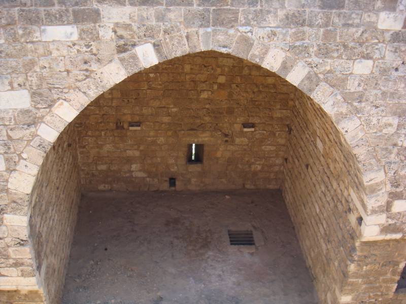
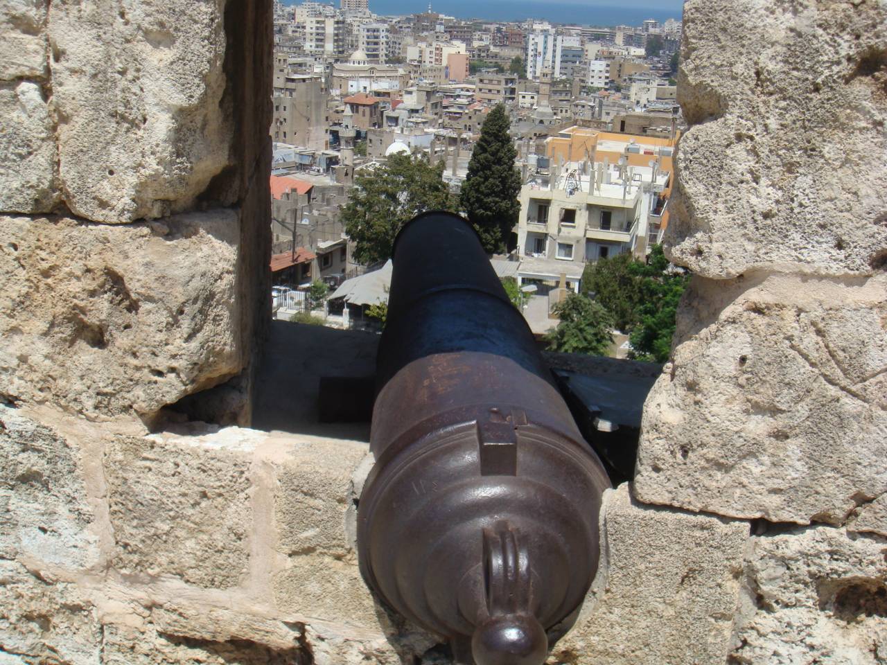
In 1516, the Ottoman Turks captured the Levant and also paid attention to the fortress: it was they who set up artillery embrasures here. The last changes were made by the Ottomans in the XIX century, but with them nothing fundamentally new in the architecture of the fortress appeared.
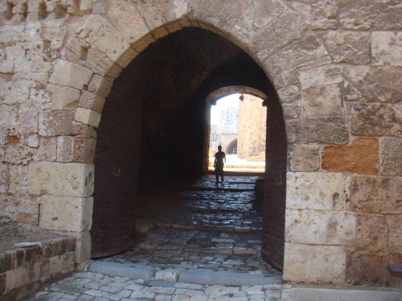
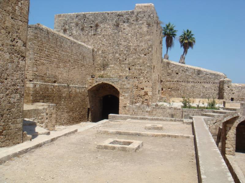
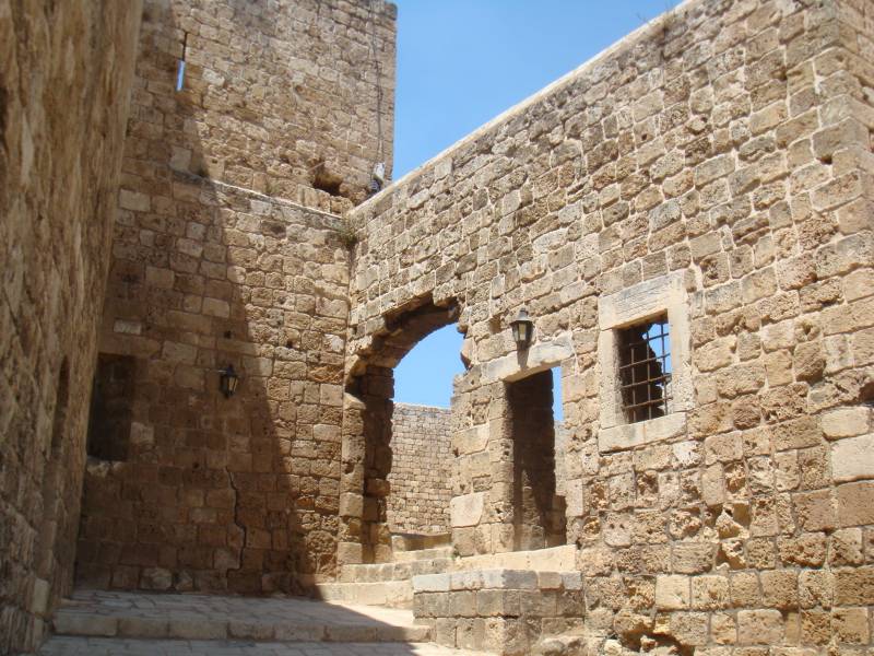
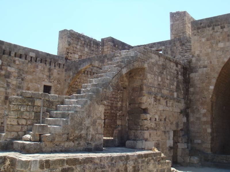
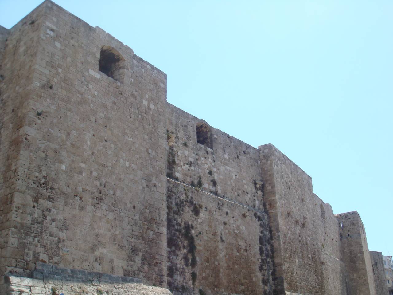
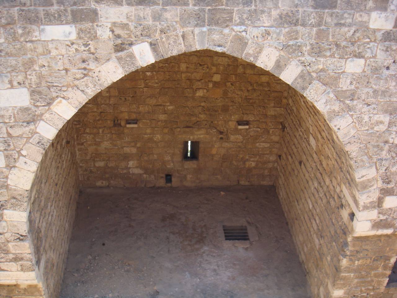
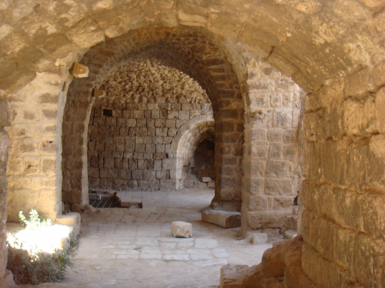
The fortress stretched from the northeast to the southwest has a rectangular shape with minor deviations with the sides of 135 m (with accuracy to 5 m) and 65 m (with accuracy to 5 m). The distance to the sea from the southwestern and northeastern walls is about 2,5 km (up to 100 m), from the northwestern wall is about 3 km (up to 200 m). The walls have a height of up to 20 m and most of the width is about 2 m. A panoramic view of one of the most beautiful cities in Lebanon opens from the walls.


Even before the appearance here at the beginning of the XII century. Crusaders under the leadership of the Count of Toulouse Raymond de Saint-Gilles on the left bank of the river Abu Ali there were fortifications of the Arabs, they erected shortly after the conquest of the Levant (Eastern Mediterranean) in the second quarter of VII. In the XI century. these fortifications were built by the caliphs of the Fatimid dynasty, rooted in Cairo, whose power extended to the region. The Seljuk Turks, supplanted in the XI century. The Fatimids from the Levant used fortifications for their own purposes.
In 1103, Raymond de Saint-Gilles approached the city with his army, appreciating the convenience of the location of the hill, named in French Mont-Pelerin (“Mount of Pilgrims”) and ordering a new fortress to be erected here, named after its founder. In 1105, Raymond died and his son Bertrand continued his work, who completed the fortress and took Tripoli in 1109.
The Crusaders owned Tripoli until 1289, when the Egyptian Mamluks, under the leadership of the Sultan Al-Mansur Seif-ad-Din Qalaun, expelled them from here. Later, in the 14th century, the Mamluks made attempts to reconstruct the fortress, including by building several new towers.
In 1516, the Ottoman Turks captured the Levant and also paid attention to the fortress: it was they who set up artillery embrasures here. The last changes were made by the Ottomans in the XIX century, but with them nothing fundamentally new in the architecture of the fortress appeared.
The fortress stretched from the northeast to the southwest has a rectangular shape with minor deviations with the sides of 135 m (with accuracy to 5 m) and 65 m (with accuracy to 5 m). The distance to the sea from the southwestern and northeastern walls is about 2,5 km (up to 100 m), from the northwestern wall is about 3 km (up to 200 m). The walls have a height of up to 20 m and most of the width is about 2 m. A panoramic view of one of the most beautiful cities in Lebanon opens from the walls.


Information